Notice the line without assuming permission
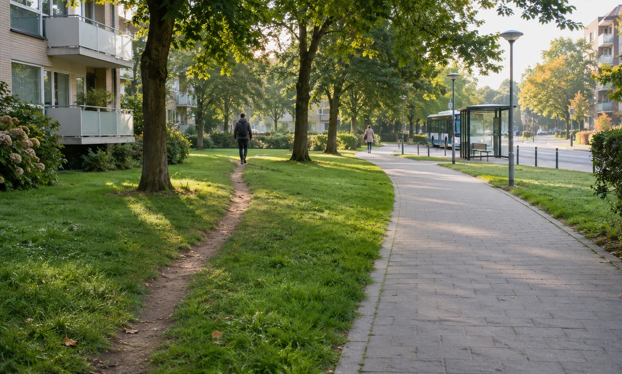
An informal path may appear where many feet have taken the same shortcut between a building, stop, gate or paved route. The line shows repeated movement, but it does not by itself show that the route is public, safe or approved.
Observe from a lawful path and respect signs, barriers, private property and protected planting. Do not create a new trail or widen an existing one simply to examine it.
Conditions can change quickly. Mud, snow, darkness and seasonal growth may make an apparently direct route difficult or damaging at another time.
Ask what the paved route asks people to do
Compare the informal line with the intended route. Does the pavement require a long turn, miss a common destination or lead to a crossing that feels indirect? Describe the difference without claiming to know every walker’s reason.
Access needs vary. A narrow dirt track that works for one person may be unusable for someone with a wheelchair, stroller, cane or limited balance. The visible shortcut is not automatically the better route for everyone.
Keep people out of the record. A note about distance, slope and destination is usually more useful than a photograph that identifies strangers using the path.
Turn observation into a careful question
If the pattern creates erosion, conflict or an access concern, report it to the responsible landowner or public service. Give the location, the routes it seems to connect and the condition you observed.
Possible responses depend on ownership, drainage, ecology, safety and design. A general observation cannot determine whether the line should become a formal path, be restored or be redirected.
What the worn grass offers is a question worth asking: where are people trying to go? Good neighbourhood design begins by noticing that repeated choice without treating every shortcut as a complete answer.
About this article
An original perspective from Everyday News. It offers practical ideas and perspective rather than firsthand reporting.

